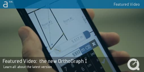
In this featured video Architosh showcases all the capabilities and uses of the all new OrthoGraph I mobile cloud-based app for Apple iOS and Google Android mobile devices, used in conjunction with laser distance meters like the Leica DISTO D2. Learn how to streamline field dimensioning and take data straight into BIM and CAD applications.
Architosh Looks at the new OrthoGraph I mobile application
To catch a special feature used with Leica DISTO D2 and OrthoGraph I, check out the video at 1:01. To watch the BIM features check out 1:46.
https://youtu.be/HZVhzdyddiA
Key New Features To Watch For
Hit the play and learn about key features, including:
- easily create accurate floor plans—via sketches that turn to straight walls, doors, openings.
- connect OrthoGraph to laser distance meter (LDM) devices to automate survey work and create automatic floor plans in 3D.
- measure diagonals for ultra accurate room dimensions.
- export your final dimensioned results directly into BIM applications via IFC export.
- export plans and reports into PDF and popular CAD formats like DXF.
To learn more visit OrthoGraph online here. Or read this feature article here (see, Architosh, “Lasers and iPads—How OrthoGraph Solves AEC Problems,” 2 November 2016).
Images From Video
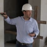
01 – OrthoGraph I on the construction site.

02 – OrthoGraph I on the iPhone w/ UI controls.
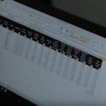
03 – OrthoGraph I outputs reports, can be taken into Excel.
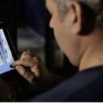
04 – OrthoGraph I at sites damaged by fire. Tool for investigation, including inspectors.
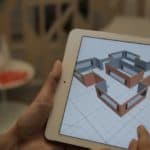
05 – OrthoGraph I automatically generates 3D BIM models for export.
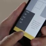
06 – OrthoGraph I exports out in industry standard file formats, like IFC for BIM workflows.
Story tags:
AEC/O,
BIM,
Construction,
Engineering,
IFC,
iOS,
iPad,
laser distance meter (LDM),
OrthoGraph,
OrthoGraph I,
Premium,
survey system



Reader Comments
This is a great video that will help folks understand how this application works.
This is a great video that will help folks understand how this application works.
Comments are closed.