Autodesk’s partnership with Esri bears new fruits in the latest Autodesk InfraWorks software update. The big news in this update is that there is a new Autodesk Connector for ArcGIS, a move the company is calling an “initial step” in “in-product capabilities.”
Autodesk InfraWorks Update
The goal by Autodesk is to improve BIM + GIS workflows across the software pipelines of various infrastructure design and engineering professionals. The connector can be used to build an InfraWorks model directly from GIS data published to Esri’s ArcGIS Online.
All the data in GIS from Esri’s ArcGIS comes into InfraWorks. This information flow between these two leading apps means that when the Esri-based GIS data is updated the InfraWorks model can be updated and refreshed.
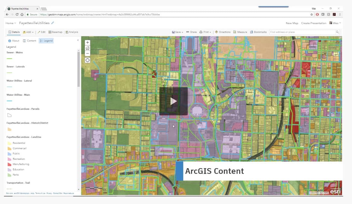
01 – Autodesk InfraWorks updates to support first “in product” features tying in Esri-based GIS data directly into InfraWorks.
The latest update to InfraWorks includes other new features and improvements. It is now possible to edit vertical curve values directly in the Curves Properties panel. There is now Delayed Model Regeneration to help keep designers moving forward and not waiting for whole model refreshes each time they make small adjustments to the model, like moving a curb.
InfraWorks views are accessible via web and mobile devices but the feature now includes a bookmarks and detailed model data view. Finally, BIM 360 users will see account and project name data clearly when accessing projects in multiple and different BIM 360 accounts. This is a BIM 360 improvement that carries over to better workflows for InfraWorks.
For more on Autodesk InfraWorks or the partnership between Autodesk and Esri visit here.