June, 2015 – Autodesk announced its collaboration with Leica Geosystems in an effort to transform the building construction industry, together.
Amar Hanspal, Autodesk Senior Vice President, Information Modeling & Platform Group said, “By pairing these solutions with Autodesk’s industry-leading software packages for CAD and BIM, customers will have easy access to accurate, high-quality data at every stage of construction, which provides benefits to all stakeholders. It’s an exciting time to be in the AEC market.”
They are exploring multiple technology integrations and will roll out over time to benefit their customers in laser scanning, building construction layout and related industries. The following integrations will soon be available.
Simplifying BIM-to-Field Layout
It has the ability to control full-featured robotic total station and users of Autodesk BIM software, including AutoCAD, Autodesk Revit and Autodesk Navisworks, can conduct BIM-based as-building and quality assurance in the field using the Autodesk BIM 360 Layout iPad app, which communicates directly with Leica iCON robot 50 robotic total stations.
Streamlining Reality Capture Workflows
New hardware and software integrations will make viewing and accessing 3D data faster and easier. Users will be able to import native point cloud data from the Leica ScanStation P16 laser scanner directly into Autodesk ReCap for a streamlined, simplified workflow that makes it easier for new users to reap the benefits of 3D data capture.
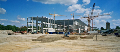
01 – Collaboration streamlines construction workflows and makes premier solutions for reality capture and Building Information Modeling-to-field layout more accessible.
For more information about the collaboration, visit www.constructrealityxyz.com